Our Services
Vantage Point Drone Services provides professional, FAA-certified aerial imaging to businesses and residents throughout Corbin, Kentucky, and the surrounding region. Whether you are mapping hundreds of acres of farmland or listing a commercial property, we have the technology and expertise to capture exactly what you need.
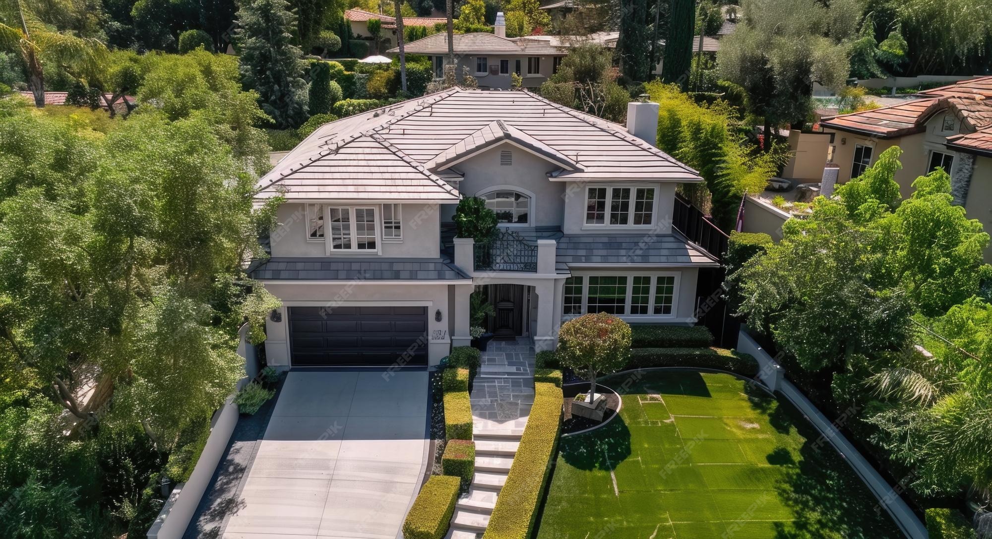
🏠 Aerial Real Estate
Elevate your property listings with sweeping 4K video tours and high-resolution HDR photos. Perfect for residential homes, large estates, and commercial properties looking to stand out in the market.
🏗️ Construction & Infrastructure
Keep stakeholders updated with regular aerial site progression photos. We also provide safe, close-proximity inspections for roofs, towers, and bridges, reducing the need for dangerous manual climbs.
🌾 Agricultural Health
Utilizing specialized mapping software, we help local farmers monitor crop health, assess irrigation efficiency, and identify problem areas across large tracts of land quickly and efficiently.
Pricing Packages
| Package | Best For | Deliverables | Starting Price |
|---|---|---|---|
| Basic Aerial Flight | Residential Real Estate | 15 High-Res Photos, 1-Minute Edited Video | $150 |
| Pro Inspection | Construction & Roofing | 30+ Close-up Photos, Unedited 4K Video Footage | $275 |
| Enterprise Mapping | Agriculture & Large Sites | Orthomosaic 2D Map, 3D Modeling, Elevation Data | $450 |
| * Custom quotes are available for specialized or multi-day projects. | |||
Recent Projects
Take a look at some of our recent aerial work from the field.